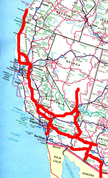
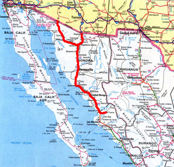
We went through San Diego to Blythe, CA for the Bluegrass Festival and quilt show; then, to Quartzsite to meet with RV School friends. After exploring the Southwest for awhile we joined the Mexican Connection to Caravan to El Fuerte, Mexico. After leaving Mexico we went north to the Southern Oregon Coast. There we met with family to celebrate Ruth's sister's 75th birthday.
 |
 |
|
 |
 |
|
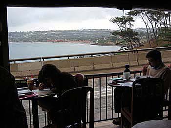
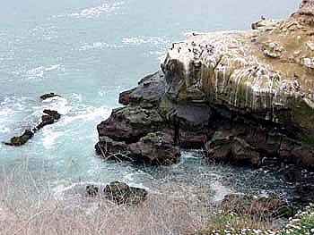
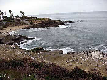
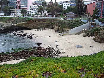
| Across the water is La Jolla Shores | La Jolla Cove | |
 |
 |
|
| La Jolla Cove - looking south | La Jolla Cove - looking north | |
|
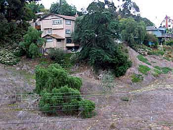
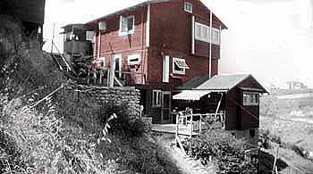
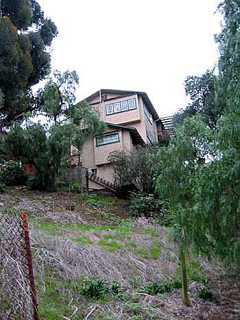
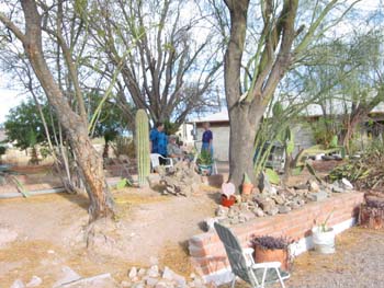
These next three pictures are
of the house Arlo grew up in. See newsletter for more information. |
 |
|
| 2006 | ||
 |
 |
|
| circa 1927 2006 | ||
| ************************* | ||
 |
 |
|
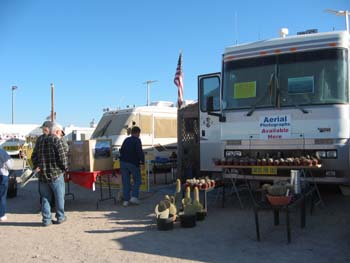
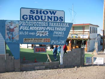
| Quartzsite "Flee Market" | ||
 |
 |
|
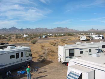
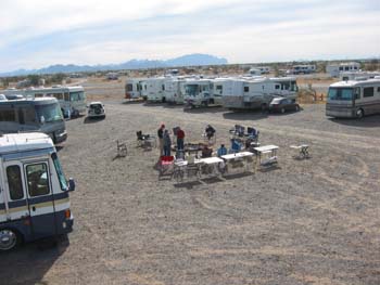
| Standing on top of trailer looking across the desert | This is our group's campfire spot | |
 |
 |
|
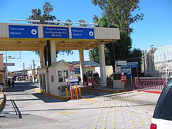
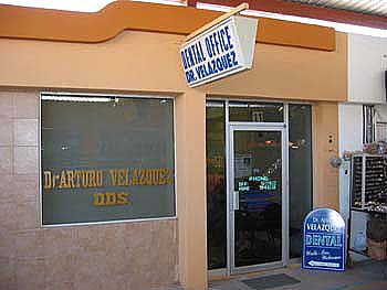
| Border Crossing - Algodones, MX | Typical Dentist Office | |
| ************************* | ||
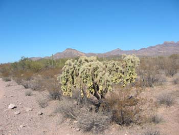
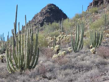
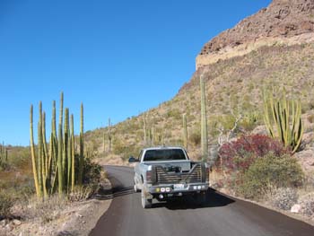
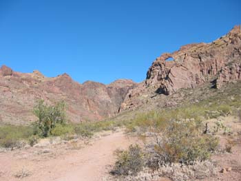
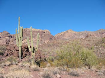
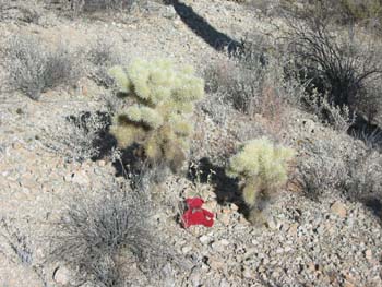
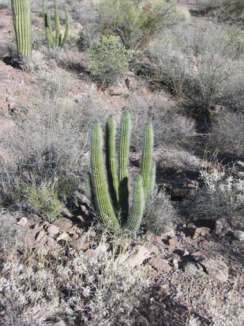
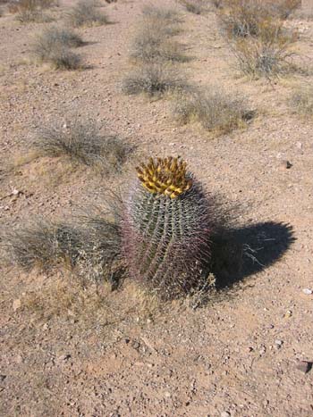
| Organ Pipe Cactus National Monument | ||
 |
 |
|
| Chainfruit Cholla | Organ Pipe Cactus & Teddybear Cholla | |
 |
 |
|
| Organ Pipe Cactus - Truck - MX Jumpingbean | Arch Canyon - Find the Arch... | |
 |
 |
|
| Saguaro | Teddybear Cactus | |
 |
 |
|
| Baby Organ Pipe Cactus | Barrel Cactus | |
| ************************* | ||
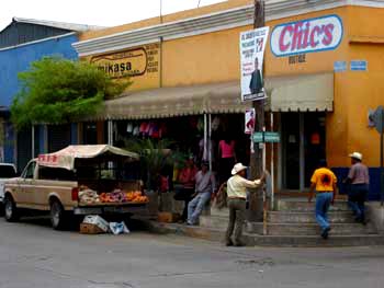
| El Fuerte, Mexico and places between... | ||
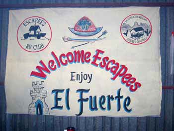
| The people of El Fuerte opened their hearts and city to us. On arrival we found this welcome sign. |
 |
|
 |
 |
|
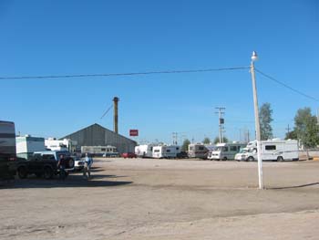
| Downtown El Fuerte | We stayed at the Fairgrounds | |
 |
 |
|
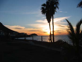
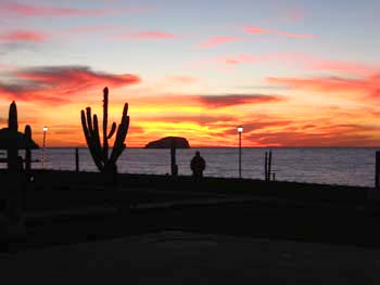
| Sunset dinner in Guaymas on way down | Sunset on the Sea of Cortez | |
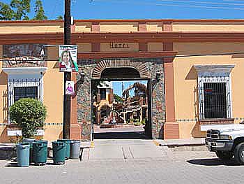
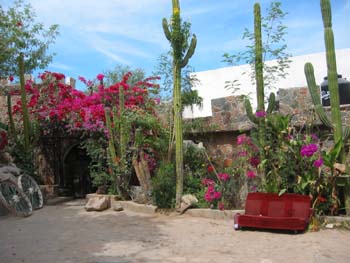
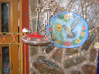
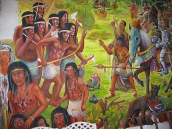
| Local hotel owner, Chal was our "Mexican Connection." He planned all our activities while we were there. These next three pictures show his hotel. |
 |
|
| Front entrance | ||
 |
 |
|
| Hummingbird feeder | Mural in dinning area | |
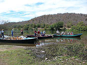
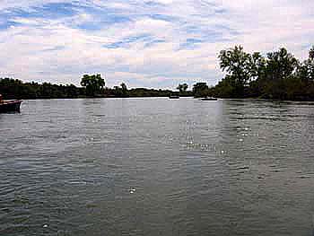
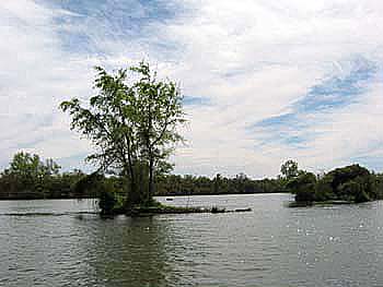
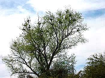
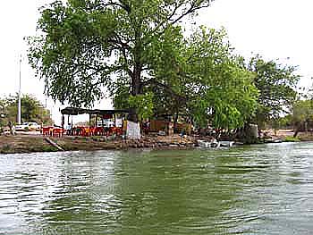
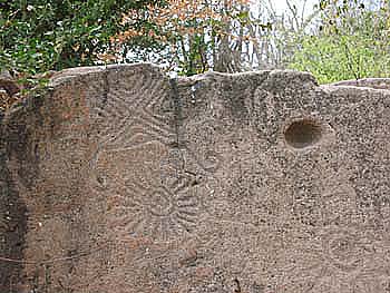
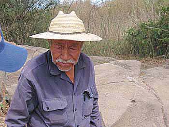
| A float trip down the El Fuerte River allowed time for bird watching and a visit to ancient stone carvings. |
 |
|
| Start of float trip | ||
 |
 |
|
| El Fuerte River | El Fuerte River | |
 |
 |
|
| Turkey Hawks and Blue Heron nests | Riverside Cantina | |
 |
 |
|
| Ancient rock carvings | Land owner at rock carvings | |
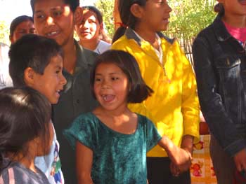
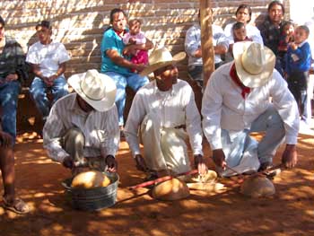
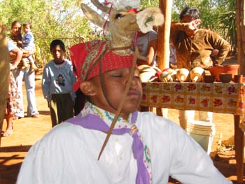
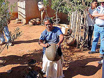
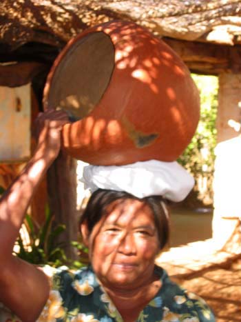
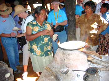
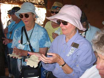
| A trip to an Indian Village rewarded us with singing, musicians, dancing, pottery making and learning about tortilla making. |
 |
|
| Children singing for us | ||
 |
 |
|
| Musicians playing on home made instruments | 16 year old lad doing the "Dear Dance" | |
 |
 |
|
| Pottery making | Pottery carrying | |
 |
 |
|
| How to make a tortilla | OK Ruth, now it is your turn... | |
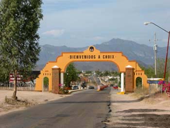 |
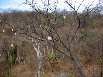
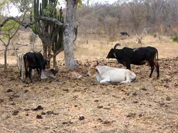
Choix is a picturesque village about 60 kilometers north east of El Fuerte. Along the road we saw cattle and Kapok trees. | |
| Entrance to Choix | ||
 |
 |
|
| Downtown Choix | Downtown Choix | |
 |
 |
|
| Kapok tree | Mexican cows | |
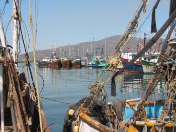 |
Topolobampo is a fishing village south of Los Mochis. Shrimp is their specialty. | |
| Shrimp boats | ||
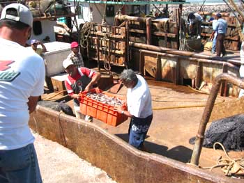 |
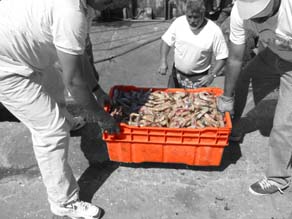 |
|
| Unloading shrimp | Largest shrimp we have ever seen | |
 |
 |
|
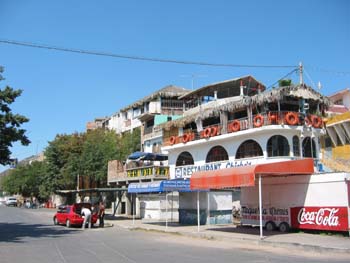
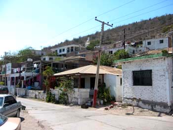
| We had shrimp for lunch here. | Topolobampo | |
 |
 |
|
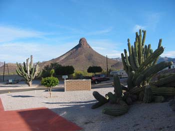
| View from Krystonia at San Carlos | Krystonia at San Carlos | |
 |
 |
|
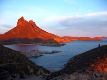
| Sunset at San Carlos | Santa Ana looking north west | |
 |
 |
|
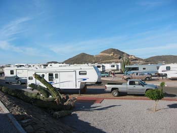
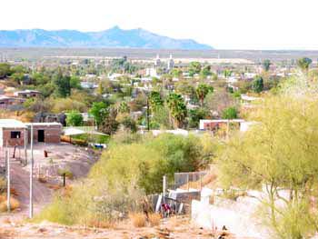
| Edgar, owner of RV Park in Santa Ana | Place to relax at Santa Ana RV Park | |
 |
 |
|
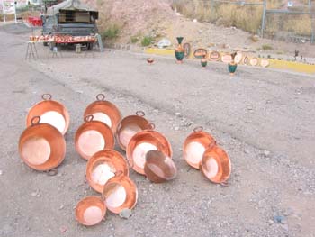
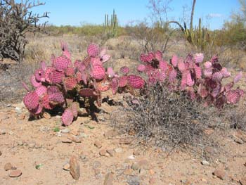
| Typical roadside merchandise | We loved the color of these cactus | |
| ************************* | ||
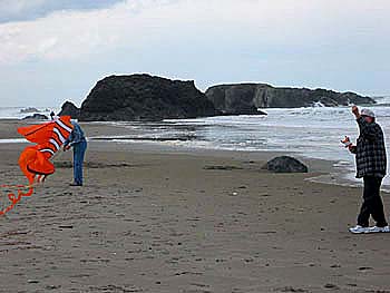
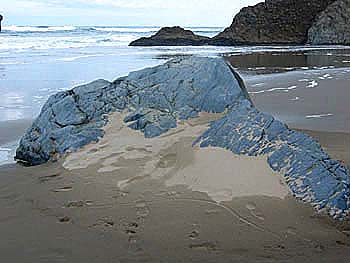
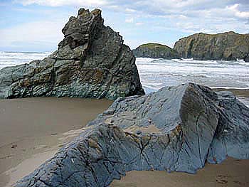
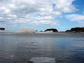
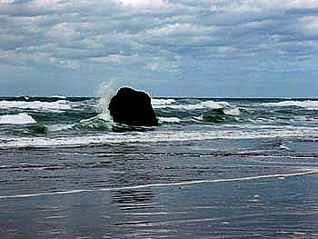
| South Oregon Coast - Bandon | ||
 |
 |
|
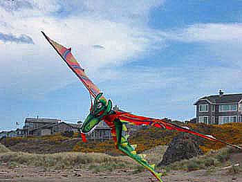
| Dragon Kite -- Kite flying is popular on the Oregon Beach | ||
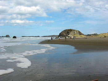
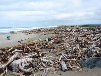
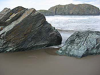
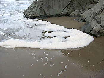
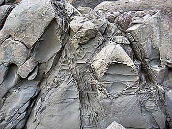
| The Oregon Coast in the winter is a collage of colors, shapes and changing moods. |
 |
|
 |
 |
|
 |
 |
|
 |
 |
|
 |
 |
|
| "Sand eye" view of sea foam | ||
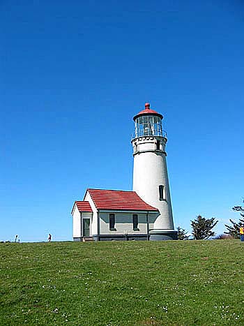
 Cape Blanco is the most westerly point on the Oregon Coast. It is about 70 miles north of the California border. |
 |
|
| Light House at Cape Blanco | ||
| For more pictures of the Oregon Coast you can go to our 2004 trip pictures along the Oregon Coast by clicking here. | ||
This site was last updated 12/29/08